
Forum Replies Created
-
AuthorReplies
-
Daniel Del Vecchio
I am new to this too but here some of the ressources I used or learn from:
http://www.charts.gc.ca/publications/chart1-carte1/index-eng.asp
http://geoportal.gc.ca/eng/Gallery/MapProfile/9
also SKABC have a library with some books on the subject.
Yekaterina YushmanovaWelcome to be club! Nick and Tracey did a great overview of the options out there. My two cents to add: I found it very useful when learning the basics to get a chart of a local area where I paddle often (False Creek, Deep Cove, etc). I would chart a course even for a half day paddle at home, locate a spot or two of interest, and then practice following the course on the water and locating the spots. Made me faster and more confident.
I usually buy the charts from the stores Tracey mentioned, but Nick is right that laminated once are easier to use and last better.
Nick HeathYes, welcome, Phil.
I’m not recommending what I do, but I’ll tell you anyhow…
Yes, I have many paper CHS charts, some old some newer. I love them and, for the information that they contain, they are inexpensive, but they are inconvenient. To start, they are not a good fit in a chart case that is usable in a kayak. Secondly, they need lots of home storage space, preferably flat. Thirdly, one never seems to have the correct chart when wanting to view one on a cold winter night at home…
So electronic charts are far more convenient because one can view which ones you want, print out (and laminate) those that you will need on a trip and save some money, too. A printed laminated chart is (I think ) the best for kayaking, although the purist navigator will complain that the necessary pencil notations cannot then be made as you check your running fixes and do dead reckoning (deduced reckoning, really) as you paddle along.
I have 2 sets of CHS electronic charts – one a bit old (8 yr) and one ancient. I regularly use the ancient ones because they have no security key and after changing computers numerous times I eventually lost the security code to the newer ones.
Technically, the master of a vessel must carry current charts and that means updating them annually or whenever a ‘Notice to Mariners’ is issued for that area. This is definitely overkill for kayakers, who don’t need to know that Q53 buoy has been moved 15 m to the W or that the revised charted depth in Friendly Channel is actually 7.8 m rather than the originally published 8.5 m. The terrain does not move much.
I will be happy to share some or all of these old charts with you. To read them you will need a navigation application on your computer. There are some good ones that are free or some inexpensive ones you can buy. You can usually save output as a pdf and use a colour printer at some retail outlet if you don’t own one.
Another way to go is to use Navionics – always current (as required), available for your handheld devices, but not to easy (for me at least) to print off to take with you.
I would never rely on electronic gizmos for 100% of nav needs.
At one time I bought Garmin’s BlueCharts for my GPS and that worked well for a while, until the device ate them – an expensive loss!
I prefer route planning on a computer and CHS electronic charts do that well.
I’m sure there will be others with very differing opinions!
Carlos Hernan CastanedaHi, new in SKABC.
i would like to take the Rescues and Boat Handling Course (previously Strokes & Rescues) training course. I have some little experience kayaking in Bowen, Gambier, False creek (6 times total)
Do I need to take the beginners course before in order to take the rescue and handling course? Or I’m ok? Where can I rent kayak and equipment nearby (as I don’t have a rack on my car. Thanks
July 7, 2019 at 6:18 pm in reply to: Charity trying to buy undeveloped land in Princess Louisa Inlet for $3M #17370Mick Allen[if you right click on the image and choose ‘view image’ – it’ll show at a much larger scale, so the coastline is more easily seen.]
July 7, 2019 at 6:11 pm in reply to: Charity trying to buy undeveloped land in Princess Louisa Inlet for $3M #17369Mick Allen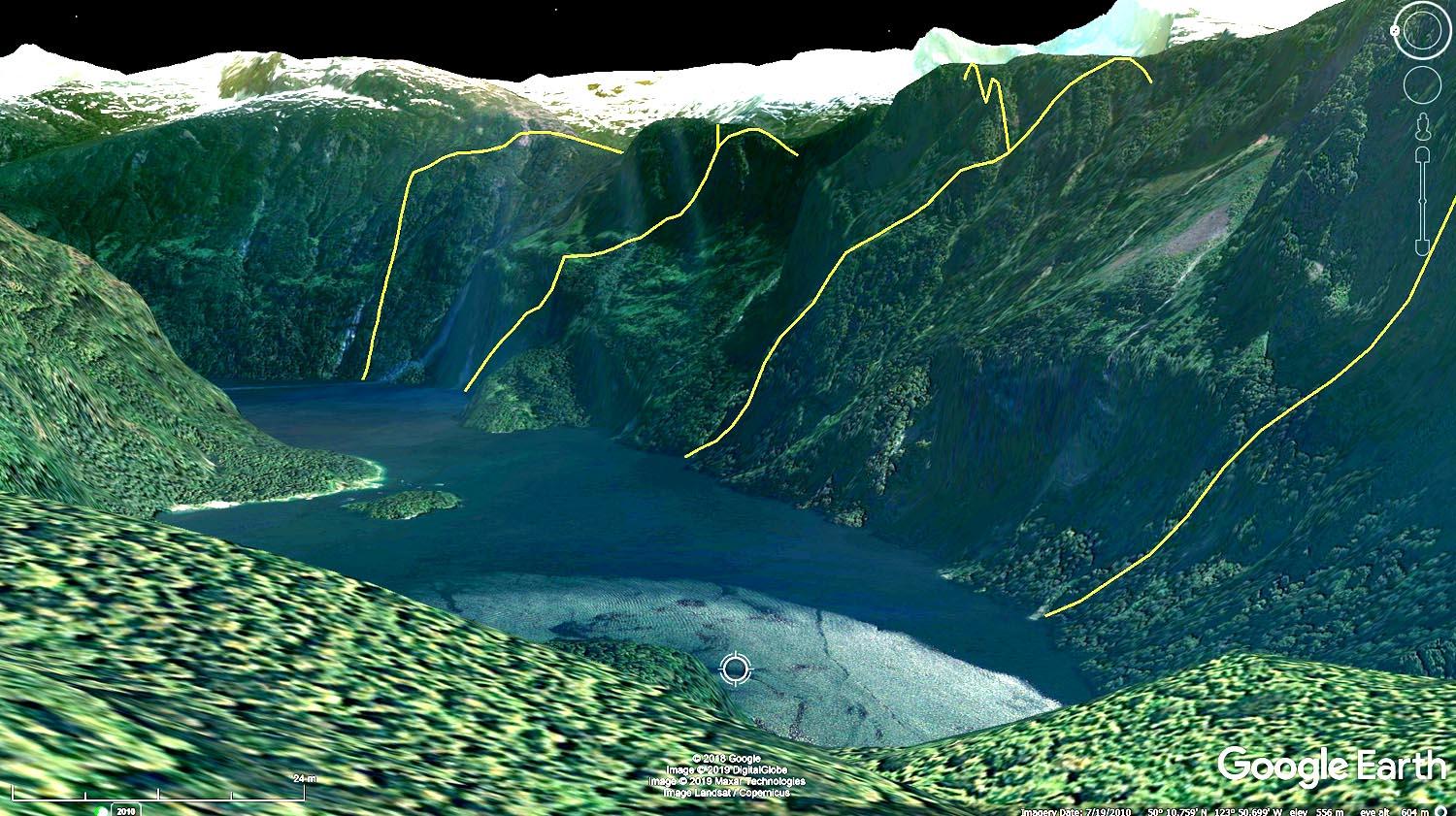
These are the boundaries: for kayakers not so great: far away, mostly in shadow, steep terrain, no apparent usable access, no apparent beaches or campsites – and it’s a huge amt of money.
Phil JonesThanks Tracey! That’s very helpful!
Tracey PhamWelcome to the club Phil and Peggi. It’s a great idea to use charts for navigation even if you have a GPS, it is not “old school” at all. If you are in Vancouver, you can buy charts and tide tables at Ecomarine on Granville Island, or Steveston Marine on W 5th or Richmond. The club also runs a Navigation course every year usually earlier in the season that talks about navigating, so you can look out for it next year in April/May.
Happy paddling!
Phil JonesHello SKABC members. Peggi (my wife) and I recently purchased a tandem kayak and joined SKABC. It’s a pleasure to be here.
Although we’ve done many kayak trips with guides over the years, we are now interested in getting competent at navigation on our own and want to make sure we can do it ‘old school’, using paper charts instead of relying too much on technology. We purchased Ferrero’s 2nd edition of “Sea Kayak Navigation”, which seems well written as we delve into it. Now we need some charts to work with and we are looking for recommendations. Where do you get your charts and tide tables? Do you purchase Canadian Hydrographic Service pcharts/tables from local dealers? Do you print from online sources? etc. Any guidance you can provide to newbies would be much appreciated. Thanks, Phil Jones
Sherron SooHi Marina, I have a 210 Werner Carbon fibre paddle for sale. You can call or text me at 604 438-8454.
Sherron
Marina GilsonI’m looking for the basics, paddle (210 or 220), paddle float, heaving line, and pump. If anyone has this available for sale, please let me know.
Also need a sprayskirt (size 2.2) that will fit a 97X52cm cockpit.
Thanks, please reply to this posting.
Jonathan StewartWeather and wind permitting, I’m in! Please post for us what time. Thanks.
Jonathan
AdminI was recently kayaking in Desolation Sound and found a toiletry kit bag. Just trying to get it back to its owner.
Was found on South Curmie island, last Wed., June 28. It was on the steps of the outhouse. On quick inspection there is some valuables in it but no name.
Possibly a member of your club left it behind?? If it is your, please contact klmcdonald@shaw.ca.
Wayne GoochYou didn’t mention the design, if that was include in the description, it would be helpful.
24′ is a very long Kayak.
July 5, 2019 at 9:07 am in reply to: Short Notice Paddles. Personal trips not officially sponsored by SKABC #17358Shelley LearSunday July 14 – Short day paddle (about 10 km total) on the Alouette River starting at Harris Road in Maple Ridge. Meet at 10:45 am bring a lunch. The difficulty level is 1 as there is minimal current in this part of the River and no waves. It’s a very pleasant trip as there are few people on the water, lots of birds, sometimes turtles and beavers. Please phone me if you are interested. Shelley Lear 604-437-1549 (landline, no texts)
-
AuthorReplies