I want to thank everyone for all of the informative replies. Lots to learn which is both exciting and humbling!
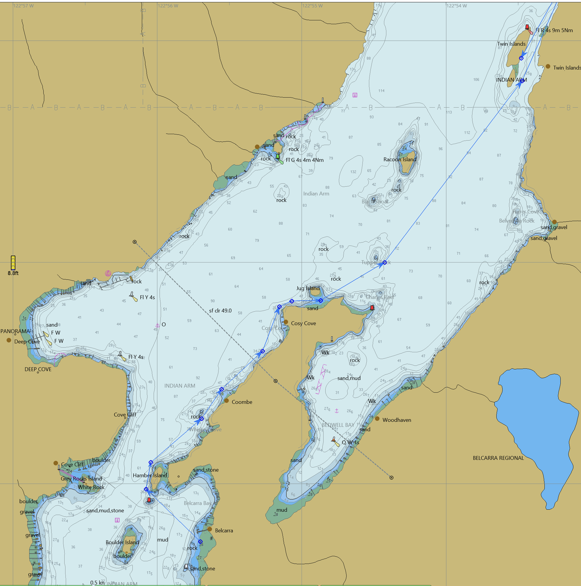
I bought CHS Chart 1 and a chart for Indian Arm, starting my paper chart journey. Then, based on some info from Nick I also looked into OpenCPD, went down that rabbit hole, and found this comment on OpenCPD: “Note: O-Charts carries affordable official licensed Canadian charts now”. Further down that rabbit hole, and Euro 20 later, I had a full set of charts for the West coast of Canada installed in OpenCPD. They don’t meet “carriage requirements” but seem pretty good for exploring/planning/etc. Just wanted to share in case this is news for any of you. If anyone wants to learn more about this, let me know. Here’s a PNG from a screen grab.